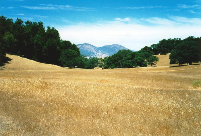
Mt. Diablo
The high
point of the East Bay rises to the north and west of Morgan Territory.
The parking lot is around 2,000', and the park spans about 500' of
vertical above and below that.
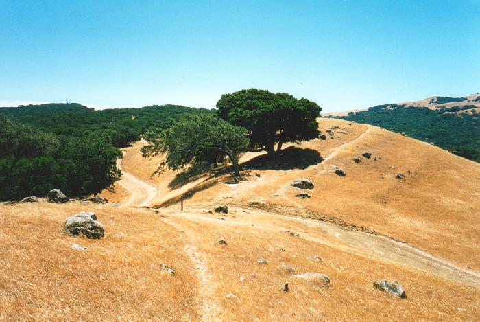
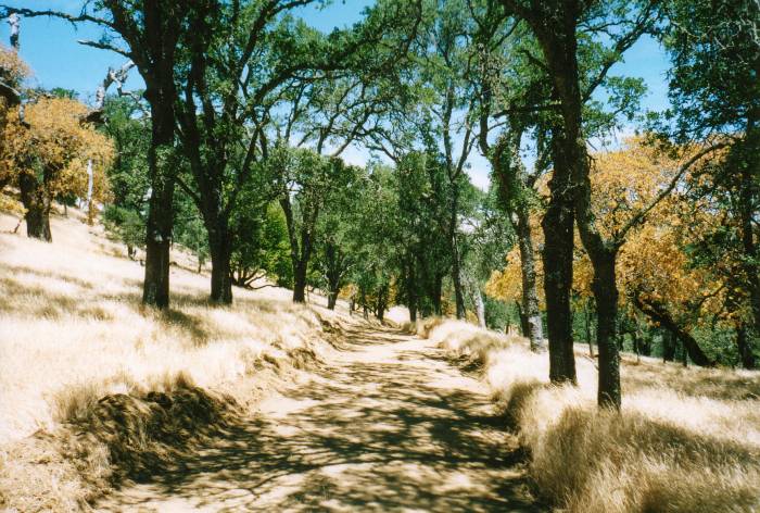
Paths and Fire
Roads
The typical California hiking trail is more like a fire
road--and very well might be a fire road. A few "hiking only"
footpaths can be found, but the level of treadway maintenance was
surprising to this Easterner. Where's the sport in that?
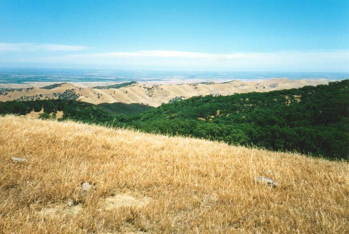
The Central
Valley
East of these hills, the vast flatness of California's
Central Valley separates the mountainous coast from the Sierra Nevada.
The clouds on the horizon are actually thunderheads and lenticular
clouds over the High Sierra peaks over 100 miles to the east. Too bad
haze blocks the view on all but a few days.
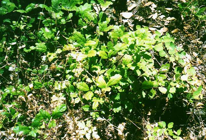
Don't Touch
Poison
Oak is everywhere, and seems to be the primary ground cover in wooded
areas. Learn what it looks like: three leaves per stem, with the two
side leaves attached directly to the stem and the middle leaf
projected out on a stalk.
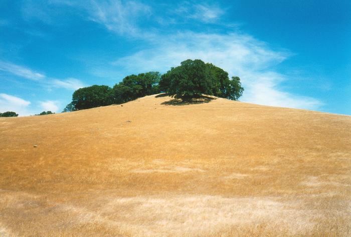
Solitary Trees
Most of
the preserve is open, windswept grassland. The occasional California
Live Oak breaks up the sea of grass.
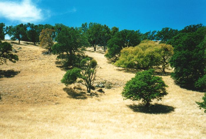
A Country Path
The
occasional stand of smaller trees breaks up the expansive
landscape.
The Natural
Landscape
Something about this area is just--different. The
lack of shrubbery increases the contrast between the fields and the
forest, and the dry climate results in drastic color
contrasts.